


|
|
|
Return to Information/Data
Historic Map Works ~ Franklin County & Columbus, 1872
(Off site; maps can be viewed by enlarged/zoomed sections;
exceptional clarity. The site is a commercial one and the maps are for sale.)
1936 Franklin County Highway Map
For maps world wide, be sure to visit Library of Congress Map Collection

(Pre-1873)

History of Franklin & Pickaway Counties, Ohio (Williams Bros., 1880)

View Adobe PDF |
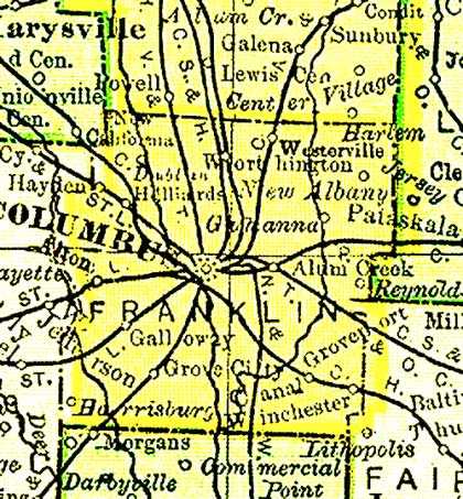
| 1895 U. S. Atlas, Franklin County, Ohio
© www.MemorialLibrary.com used with permission
|
Webmaster's notes:
|
||
 Blendon (243KB) |
 Brown (239KB) |
 Clinton (308KB) |
 Franklin (437KB) |
 Hamilton (281KB) |
 Jackson (413KB) |
 Jefferson (259KB) |
 Madison (490KB) |
 Marion (329KB) |
 Mifflin (210KB) |
 Norwich (304KB) |
 Perry (331KB) |
 Plain (247KB) |
 Pleasant (439KB) |
 Prairie (300KB) |
 Sharon (266KB) |
 Truro (317KB) |
 Washington (286KB) |
| Home
Resources | Photo Album Family Group Sheets County Links | What's New? 
This site is owned & maintained by
© 2004-2017 Leona L. Gustafson
All rights reserved. All original content found on these pages is copyrighted by the submitter/author and all rights are reserved. |